Traffic Analysis With Video Analytics
With multimodal transport concepts gaining ground and autonomous driving on the horizon, people's mobility behavior is currently changing faster than ever before.
Published
June 15, 2021

Globalization, urbanization, and online commerce are factors that continue to drive increasing inter- and intra-urban traffic in the long term. With multimodal transport concepts gaining ground and autonomous driving on the horizon, people's mobility behavior is currently changing faster than ever before.
Traffic analysis is an essential part of all infrastructure projects, their planning and evaluation. With the help of real-time traffic analysis, intelligent traffic systems can be implemented to reduce congestion, air pollution and accidents.
Data sources for traffic analyses
Different data sources can be considered for traffic analyses. Depending on the objective, different sources are better or worse suited. For the implementation, not only the quality but also the cost of data collection should be considered. Isarsoft is specialized in extracting information from camera images or videos.
Manual count
Manual counting is still used even in industrialized countries. However, the personnel costs involved quickly make implementation in larger projects uneconomical over longer project periods.
Lidar, radar and induction loops
Lidar, radar and inductive loops are commonly used in traffic applications. Lidar is based on laser beams, while radar uses radio waves to detect and measure the speed of traffic. Induction loops can detect vehicles by induction.
Mobile radio and vehicle location data
Location data and motion profiles of cell phones (floating phone data) and vehicles (floating car data) are commercially available from various providers. The resolution of the data depends on the collection method. If the location data is collected using GPS positioning, the accuracy is within meters. If the location is based on the nearest network antenna, the accuracy can be in the kilometer range. The main advantage of cellular tracking is that the traffic route of individual trips can be analyzed. This means that the origin, destination and route are known for each trip.

Satellite images
Very high resolution satellite imagery can be used to analyze large geographic areas. Satellite images include road markings, sidewalks, vehicles and smaller structures. Data from satellites is not suitable for real-time systems, but is more suitable for analyzing long-term trends.
The following image is taken from the HRO dataset at gis.utah.gov and shows a municipal building complex.

Drones and aerial photography
Drones or light aircraft can be used for temporary traffic analysis. Drones are convenient for quickly obtaining a snapshot of traffic flow over a limited period of time. However, the use of drones is strictly regulated by law. Light aircraft, unlike drones, can determine information over a larger area.

Dash Cams & Vehicle Cameras
Many modern cars have integrated front and rear cameras. These cameras are usually used for driver assistance systems, but can also be used to analyze traffic and road conditions.
Traffic observation cameras
Traffic surveillance cameras monitor the traffic flow and are suitable for traffic analysis as well as for intelligent traffic control. Some traffic cameras are publicly available to simplify travel and route planning. The following link lists the traffic surveillance cameras in Bavaria: bayerninfo.de.
Traffic surveillance cameras may be required by law. In Germany, for example, this is the case in tunnels above a certain length.

Highways are often equipped with a variety of sensors to increase traffic safety. In road construction, additional cameras are often installed during the construction phase due to the increased risk of congestion and accidents.

Applications
Multi-modal urban planning
The planning of urban infrastructure projects such as intersections or traffic circles requires precise data on the expected traffic volume. Camera systems can provide insights into multi-modal traffic flows at comparatively low cost. The following image shows the analysis of a traffic circle using drone video. The yellow lines illustrate the entrances and exits to the traffic circle. By analyzing the relationship between source and exit in a table, the main flow directions can be easily analyzed.

One of the great advantages of video analysis is that different objects can be detected in the video streams. Isarsoft specializes in multimodal traffic analysis and offers insights into traffic of different categories, such as:
- Pedestrian
- Cyclist
- Scooter
- Motorcycles
- Vehicles (small, medium, large)
- Buses
- Trucks
Modern algorithms are extremely robust for different camera angles. The following image shows a top-down perspective on multi-modal traffic. For cameras mounted at traffic lights, the perspective is often more horizontal. If the position and orientation of the camera is known, the traffic speed can be determined by the analysis software without using expensive depth sensors.

Roads and infrastructure planning
Roads and infrastructure projects must be carefully planned and evaluated to accommodate future traffic volumes. Automated traffic measurements improve the predictive capacity of any traffic model, as larger time periods can be covered. The following video shows how traffic analysis can be performed on highways using surveillance cameras. The system detects vehicles such as cars or trucks moving in both directions on the highway. The black dashed horizontal line in the image illustrates the counting line.
View now at: https://www.youtube.com/watch?v=luxaGPxBVPo
Automated inspection of road quality, safety and vegetation
Dash cams can be used to automatically analyze road conditions. Objects of interest that can be detected with advanced video analytics include potholes, traffic signs and vegetation condition. Commercial vehicles such as garbage trucks can be equipped with such systems to gather information from across the city. To map the corresponding road status, dash cams are equipped with GPS positioning.

Intelligent transport systems and smart city
Intelligent traffic systems, often referred to as smart city systems in German, improve the traffic situation in terms of traffic safety, comfort and emissions. Intelligent traffic systems consist of sensor, logic and action components. An example could be a network of traffic cameras, a server and traffic lights. In such a scenario, cameras are the sensors used to sense the system. Image processing and traffic optimization software runs on the server and controls the traffic lights, which are the actors.
Vision Zero | Accident Prevention
The European Union's Vision Zero initiative aims to reduce fatal traffic accidents on European roads. While accident statistics help identify dangerous locations, Intelligent Traffic Systems such as real-time video analysis systems can warn drivers with signals to prevent accidents. Highways often already have adjustable speed limits to slow traffic in the event of an accident. The traffic control system can communicate with drivers either directly through signals or indirectly through the car. The latter is also known as Car2X. The development of autonomous driving cars is expected to further reduce the number of traffic accidents.

Parking management and parking guidance systems
Finding a parking space can take some time. By measuring the occupancy of parking spaces with cameras, cities can guide traffic to the closest available parking space. This shortens trips, reduces CO2 emissions and overall traffic.

Real-time traffic guidance systems
Cameras mounted on traffic lights provide information on the length of the queue, traffic speed and vehicle categories. Depending on the traffic, an intelligent algorithm controls the traffic lights to optimize throughput and reduce congestion. If such a system is installed at several intersections, traffic flow can be optimized across intersections.

License plate recognition
Toll collections can be expedited through license plate recognition. License plate recognition can also be used to uniquely identify and re-identify vehicles to create traffic flow profiles across larger areas. Following a privacy-by-design approach, state-of-the-art encryption should be used to anonymize license plates.

Isarsoft Solutions
Smart Cameras
Together with our camera partners, we develop intelligent cameras for traffic analysis. They can be used solely for the purpose of data collection for traffic analysis or in larger ITS systems, for example to optimize traffic flow.

Edge, On-Premise & Cloud Video Analytics
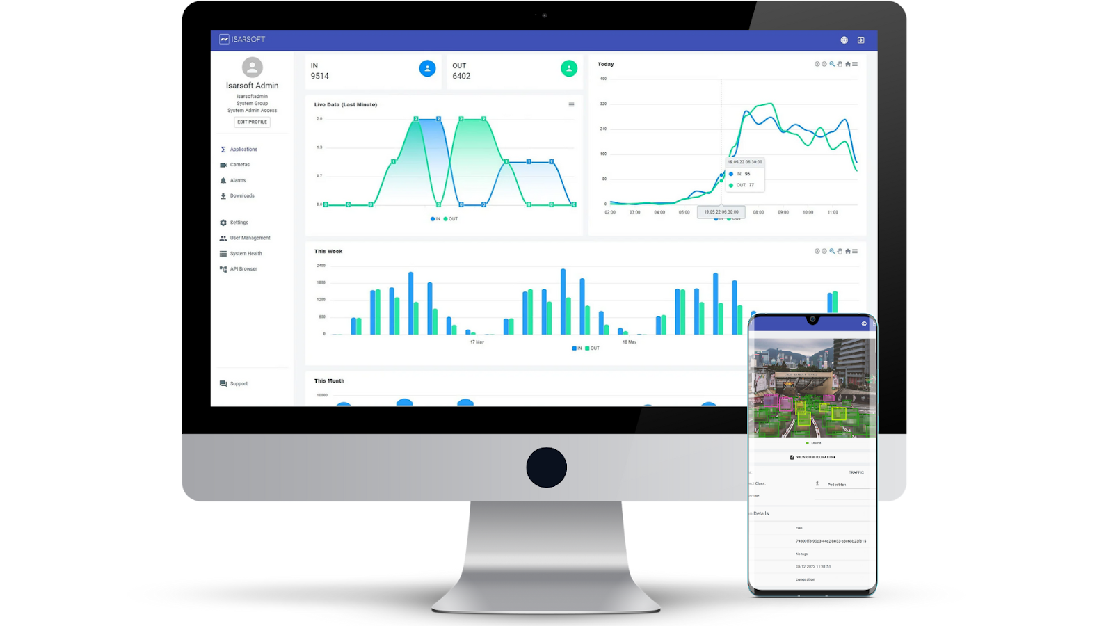
Isarsoft systems can be deployed on-the-edge as embedded systems, on-premise in a data center or in the cloud. For all use cases, the Isarsoft Video Analytics dashboard provides users with a one-click configuration and data access interface.

More about Isarsoft
With Isarsoft Perception, your camera systems become part of your business intelligence. Whether the goal is to increase efficiency, customer satisfaction or safety, Isarsoft Perception provides the insights needed for informed decisions.
Contact us, to learn more about how to turn security cameras into intelligent sensors.
Optimize your business processes.
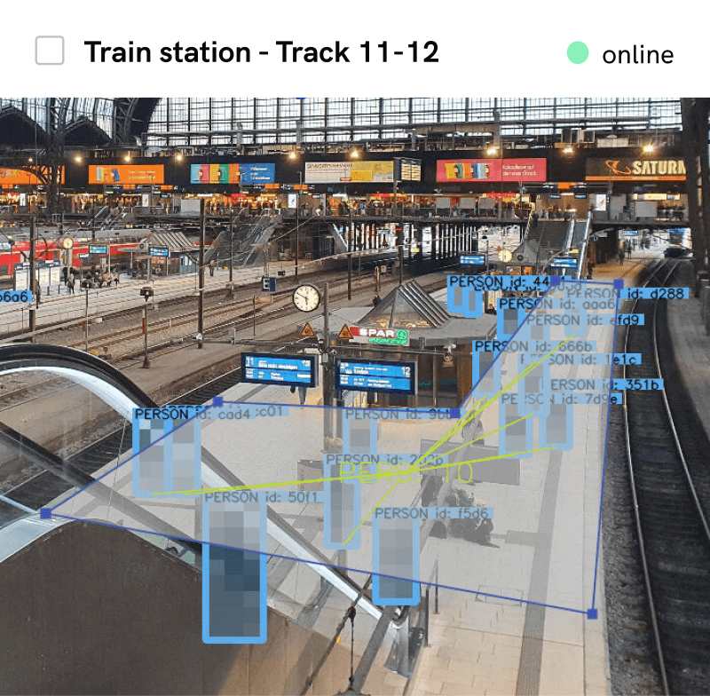
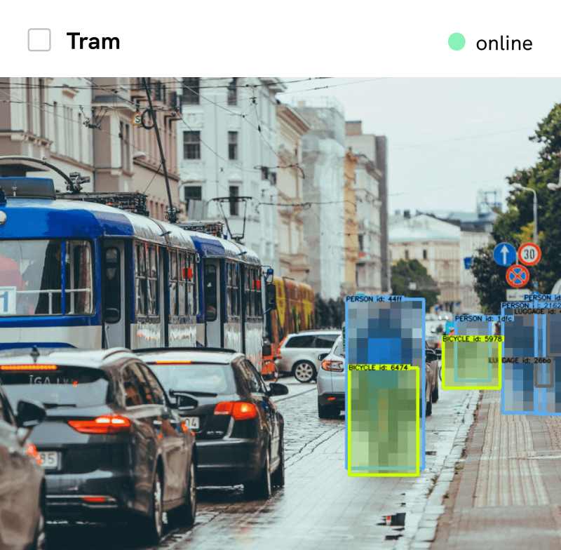
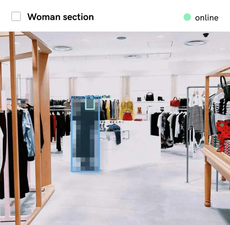
Improve business processes with video-based business intelligence from Isarsoft.


.webp)